> Batinah >western Hajar Mountains > eastern Hajar Mountains >Sharqiyya > Central-Oman >Dhofar > Musandam
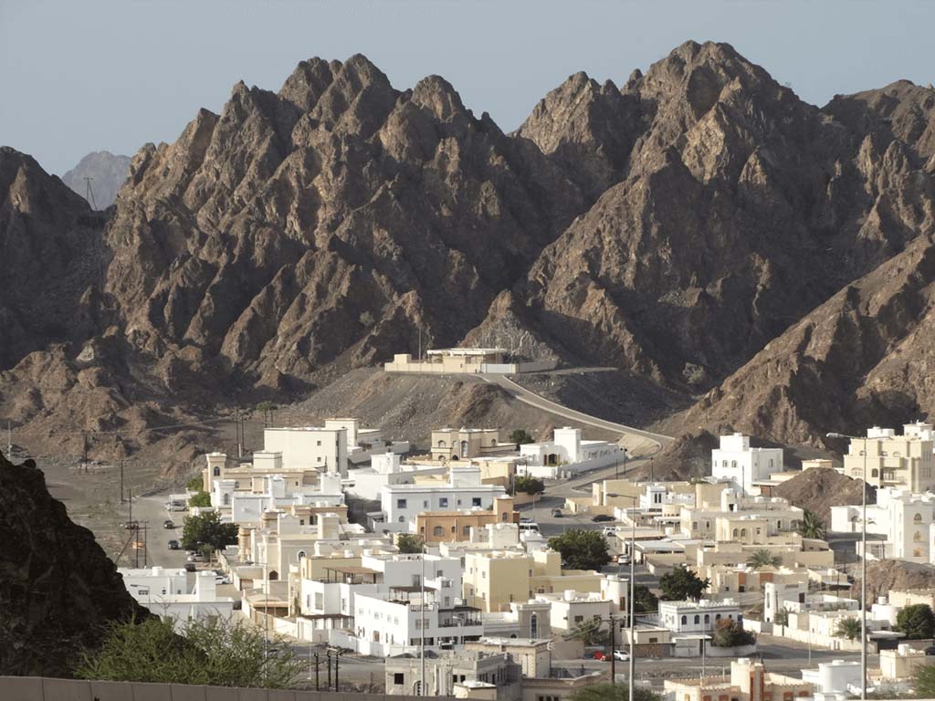
The capital area Muscat is named after the small bay of the historic harbour city of Muscat, which is surrounded by rugged cliffs. Today, around 1.5 million people live in the capital area.
It stretches for over 70 kilometres from the former fishing village of Seeb, where the international airport of the same name is located today, to the bays south of Qantab. In the past, camels needed around nine hours to cover this distance.
The settlement area is bordered to the north by the coastline and to the south by the Hajar Mountains, whose cliffs reach as far as the sea in the east. The historic port city of Muscat, which gave its name to the entire settlement area, was located here in a small bay encircled by rugged cliffs and is now the country's modern administrative centre. Together with the town of Muttrah (Matrah) in the neighbouring bay and a few small, less important oases, it was the only inhabited area within today's capital region until 1970.
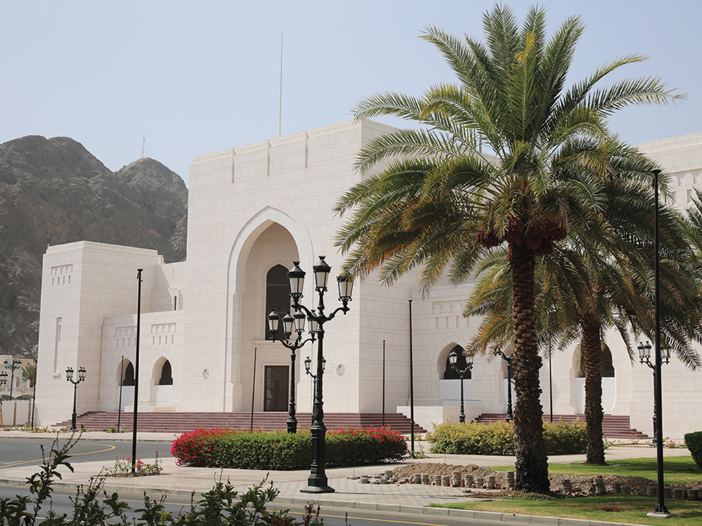
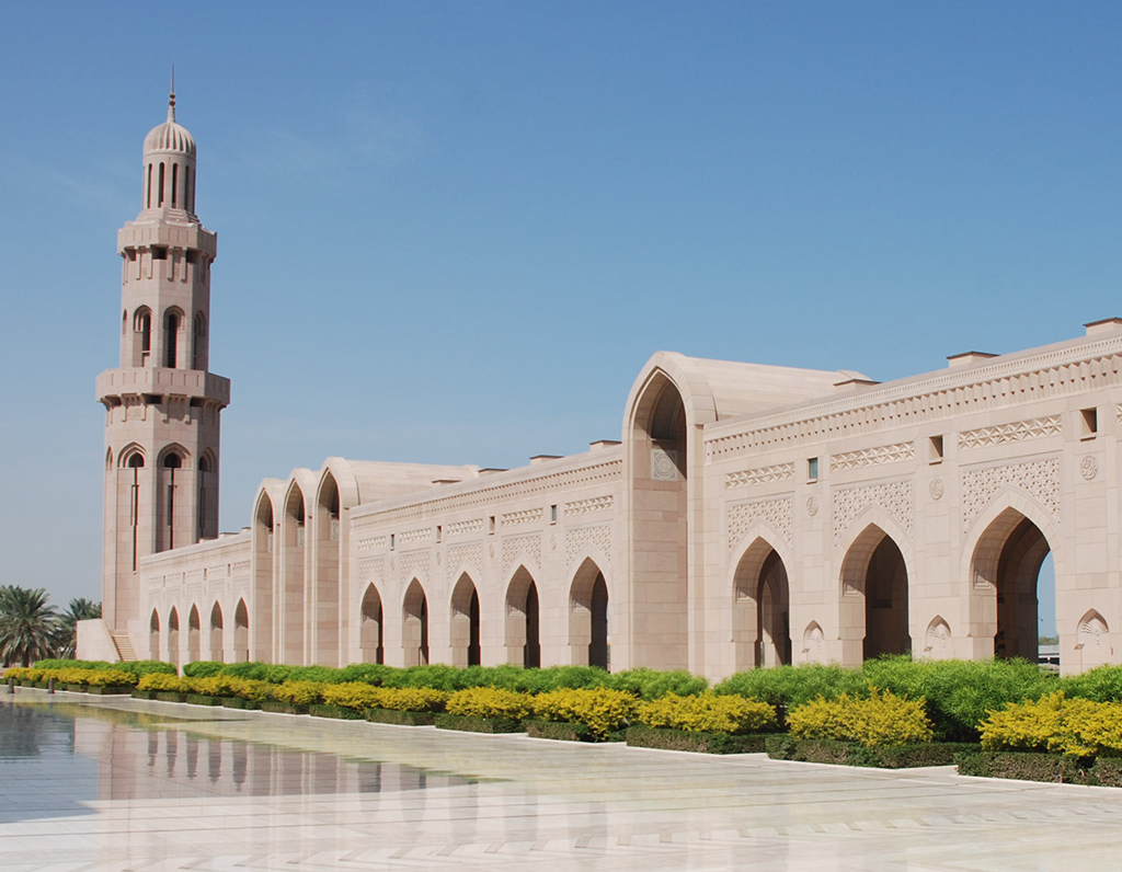
However, this changed almost abruptly with the change of power in 1970. In the same year, the English company John R. Harris, Architects, Design and Planning Consultants presented an area utilisation plan for the capital region, which was largely implemented in the following years despite a number of changes to details. Muscat is now regarded as a unique example of modern urban planning and by the end of the 20th century had transformed itself from a medieval harbour city into a modern metropolis with 21st century standards. We particularly recommend attending a performance at the Royal Opera House, visiting the National Museum and the Sultan Qaboos Grand Mosque.
➤ More pictures from the Muscat Capital Region
➤Hotels in the Muscat Capital Area



Your contacts for travelling with Arabia Felix:
Maria Popp and Karin Nowack
Phone: +49 (0)89 / 30 77 92 00
info@oman.de
ARABIA FELIX Synform GmbH
Treffauerstraße 18
81373 München
Germany
Tel: +49 89/30779200
E-Mail: info@oman.de
VAT-ID: DE201885274