>Plants >Animals >Climate >Water
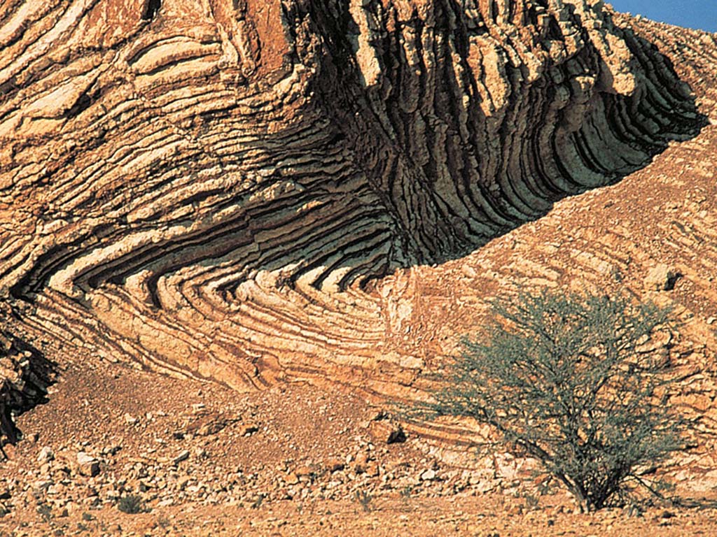
The Hajar Mountains reveal layers of rock that are normally hidden in the depths. A journey through this landscape therefore provides a fascinating insight into the history of the earth. The biggest geological feature is the "Moho", the contact between the earth's crust and mantle, which is otherwise hidden 35 to 70 kilometres below the continents.
The Hadjar Mountains run for around 600 kilometres from the Musandam peninsula along the northern coast of the Sultanate to the port city of Sur. Its rock formations are over 3000 metres high and offer fascinating insights into 825 million years of geological history.
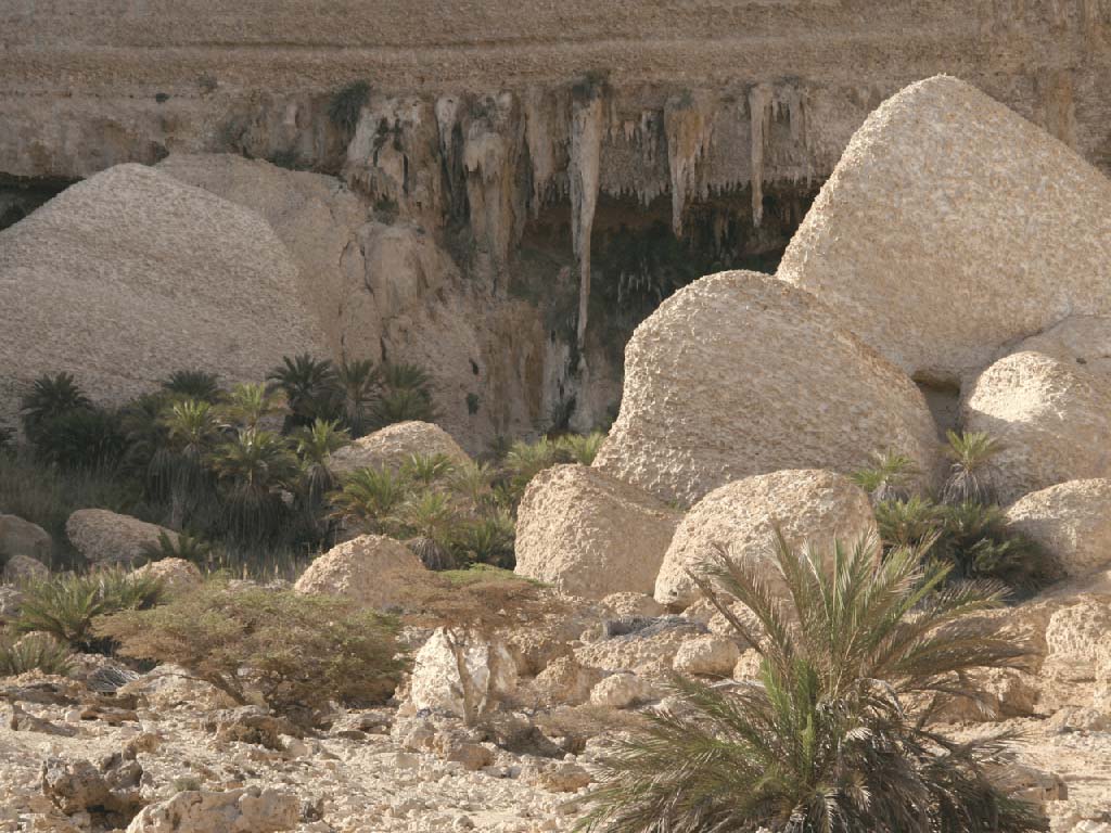
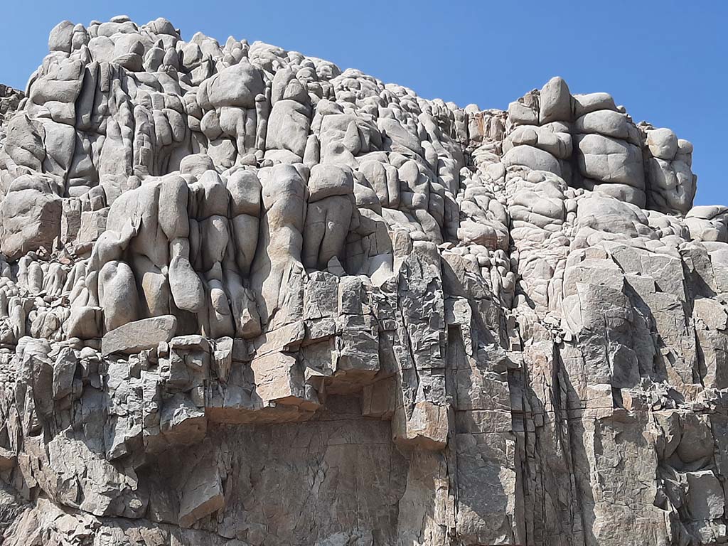
Huge pieces of the Arabian Plate break through the ground like enormous scales; large piles of different-coloured sediments transform the landscape into a panopticon of the earth's history.
The dark brown, crystalline, strongly jagged, volcanic Samail ophiolite layer is striking. This formation, locally enriched with chromium and copper, extends over an area of almost 20,000 square kilometres and appears everywhere on the eastern edges of the mountain range. It is the best preserved oceanic rock formation on the Earth's surface, material that normally forms the base of the seabed.
But the biggest geological feature is the Moho, the contact between the Earth's crust and mantle, which is otherwise hidden 35 to 70 kilometres below the continents. Only in Oman is this rock exposed on the surface of the earth.



Your contacts for travelling with Arabia Felix:
Maria Popp and Karin Nowack
Phone: +49 (0)89 / 30 77 92 00
info@oman.de
ARABIA FELIX Synform GmbH
Treffauerstraße 18
81373 München
Germany
Tel: +49 89/30779200
E-Mail: info@oman.de
VAT-ID: DE201885274