> Muscat > Batinah > eastern Hajar Mountains >Sharqiyya > Central-Oman >Dhofar > Musandam
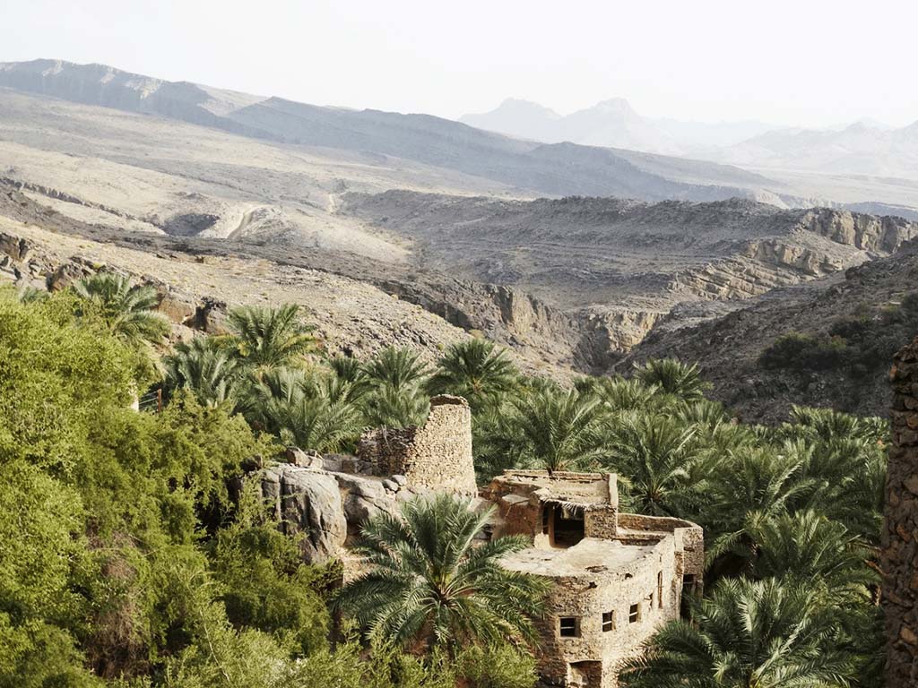
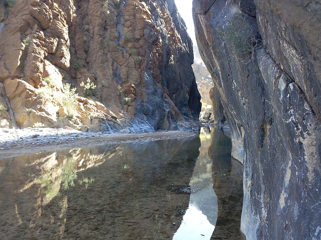
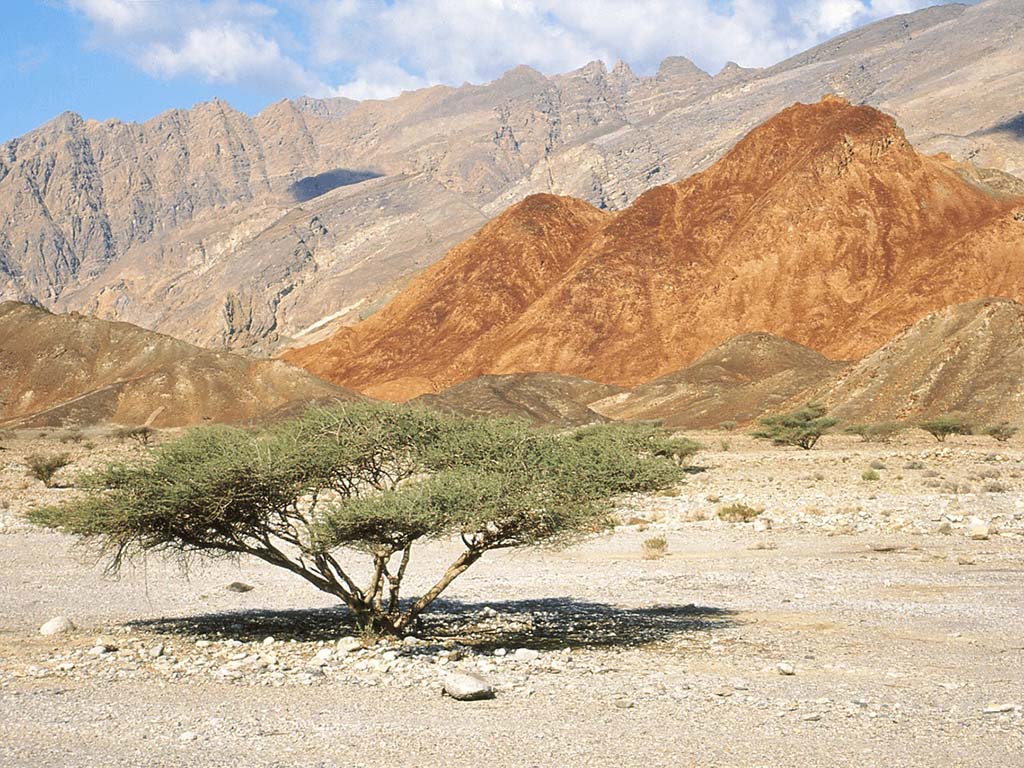
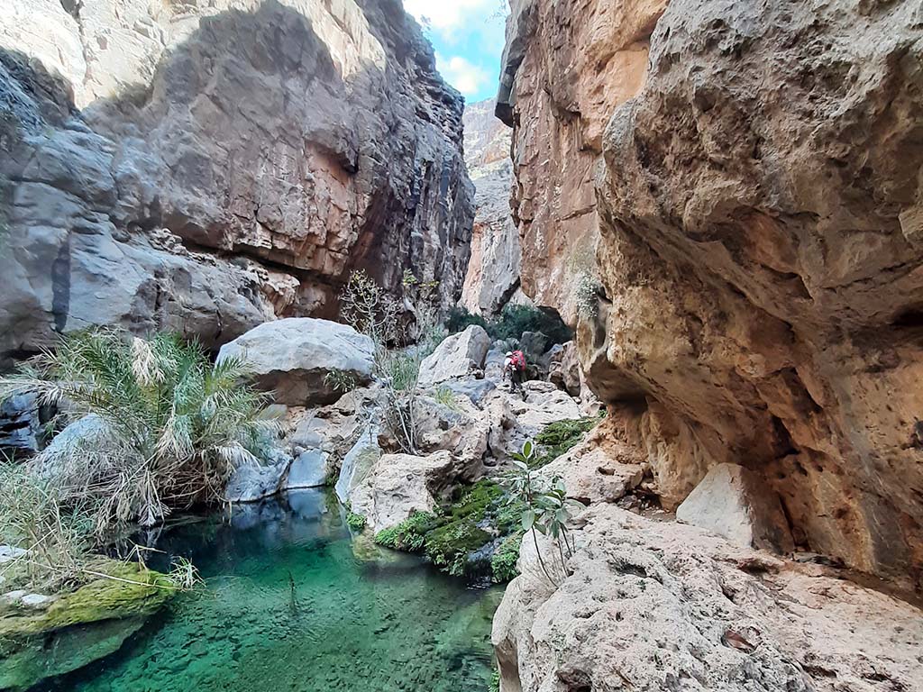
The Hajar Mountains run from the Musandam Peninsula to its southern foothills over a distance of around 600 kilometres along the northern coast of the Sultanate. A natural passage, the Samail Trench, divides the mountain range into an eastern and a western part. In western Hadjar lies the highest peak, the Jabal Shams at 3009 metres, which in turn belongs to the Jabal Akhdar massif.
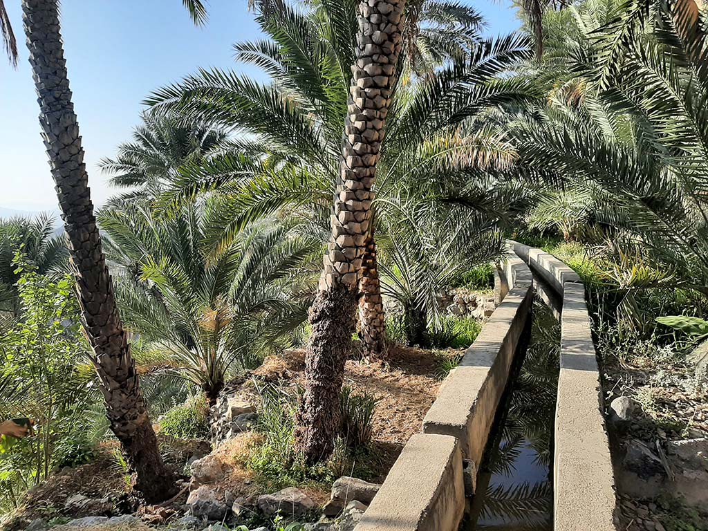
The rock of the mountain consists mainly of oceanic crust, opheolite, and was pushed onto the continent around 90 million years ago. In contrast to other mountains on the Arabian Peninsula, it receives a lot of rain due to its height. This supplies hundreds of small mountain oases with water through an artificial system of irrigation channels.
Until the middle of the 20th century, Oman was divided. The secular ruler (Sultan) ruled over the coast from Muscat, while the religious leader (Imam) controlled the interior of the country.
To this day, the interior of the country is understood to mean the extensive area surrounding western Hadjar with the towns of Bahla, Jabreen, al-Hazm or Rustaq. They were at times the seat of government of the imams. Nizwa is still referred to by some as the secret capital.
➤ More pictures of the western Hajar mountain region



Your contacts for travelling with Arabia Felix:
Maria Popp and Karin Nowack
Phone: +49 (0)89 / 30 77 92 00
info@oman.de
ARABIA FELIX Synform GmbH
Treffauerstraße 18
81373 München
Germany
Tel: +49 89/30779200
E-Mail: info@oman.de
VAT-ID: DE201885274