
> Muscat > Batinah >western Hajar Mountains > eastern Hajar Mountains >Sharqiyya > Central-Oman >Dhofar > Musandam
The landscapes of the Sultanate of Oman are very different and surprisingly diverse: deeply incised fjords in Musandam, geological diversity in the Hajar Mountains, the endless sand dunes of the Rub al-Khali, the tropical green Dhofar in summer, the plantations of the Batinah coast, the modern capital Muscat.
The northernmost part of the country is the Musandam Peninsula. It extends far into the Strait of Hormuz, a narrow but important sea route for tankers. It supplies Japan and, above all, the west with oil. At 16 kilometers long, Khor Shamm is the longest fjord in Musandam.
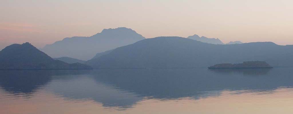
The historic harbour city of Muscat is located in a small bay surrounded by rugged cliffs. It gives its name to the capital region of Muscat, which geographers also refer to as the capital area. This stretches from the former fishing village of Seeb (Sib), where the international airport of the same name is located today, over 70 kilometres to the bays south of Qantab.
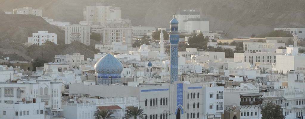
The Hajar Mountains run from the Musandam Peninsula to its southern foothills over a distance of around 600 kilometres along the northern coast of the Sultanate. A natural passage, the Samail Trench, divides the mountain range into an eastern and a western part. In western Hadjar lies the highest peak, the Jabal Shams at 3009 metres, which in turn belongs to the Jabal Akhdar massif. This is the old cultural heartland of Oman with the cities of Nizwa and Bahla.
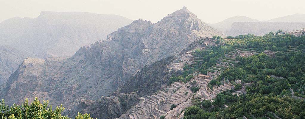
The eastern Hadjar Mountains do not reach the height of the western part. Nevertheless, its landscape is unique. Deep in its gorges are wadis that carry water all year round. The most beautiful of these include Wadi Shab, Wadi Tiwi and Wadi Bani Khalid.
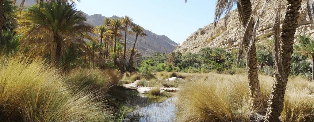
The Sharqiyya region lies on the foothills of the eastern Hadjar Mountains. Close to the easternmost point of Oman and the Arabian Peninsula, near Ras al-Hadd, lies the protected area for sea turtles of Ras al-Djinz. The landscape is dominated by the sand dunes of the Wahiba desert.
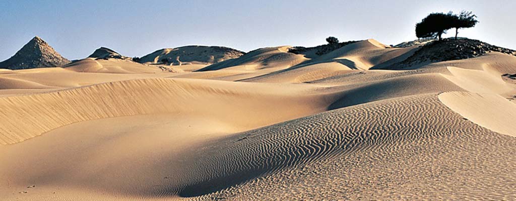
The Batinah Plain is a strip of coastline around 400 kilometres long and 30 kilometres wide that runs between the western Hajar Mountains and the Gulf of Oman. It is the Sultanate's common garden. A large number of refuge castles and fortresses, such as that of Nakhl, protected its inhabitants from raids for centuries.

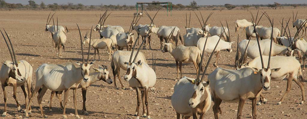
The vast wilderness of central Oman begins just south of the Hadjar Mountains. For 800 kilometres up to the Dhofar Mountains, there is hardly any vegetation, and there are hardly any people in this hostile environment. In the west - on the border with Saudi Arabia - lie the dunes of the Empty Quarter, the Rub Al-Khali. Its foothills are lost in the rumours of the Djiddat al-Harasis. This is the protected area for the Arabian Oryx Antelopes.
➤ Discover the vastness of Central Oman
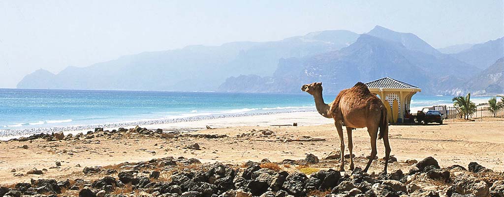
The south of Oman, the Dhofar region, is a world of its own. The landscape rises from the dry plain to the Dhofar Mountains, which are almost a thousand metres high. This limestone massif breaks off towards the coast into a wide plain, along the edge of which run long, palm-fringed sandy beaches. From June to August, the south-west monsoon, the khareef, transforms the region into a tropical paradise. Two millennia ago, the Romans set out to discover the wonderland in the distant Orient, where there were trees with gold dripping from their bark. Gold in the form of a precious resin, frankincense. Arabia felix they called it — happy Arabia.



Your contacts for travelling with Arabia Felix:
Maria Popp and Karin Nowack
Phone: +49 (0)89 / 30 77 92 00
info@oman.de
ARABIA FELIX Synform GmbH
Treffauerstraße 18
81373 München
Germany
Tel: +49 89/30779200
E-Mail: info@oman.de
VAT-ID: DE201885274